Connect
Gold Coast
Queensland
National
World
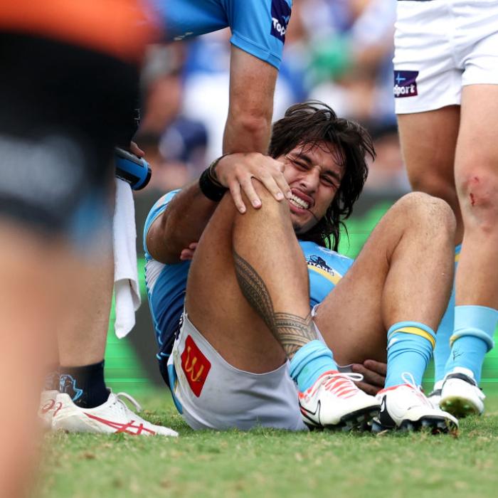
Sport
Health
Movies
myGC
New South Wales
Teen arrested after frenzied stabbing attack at Sydney church
Man in serious condition, woman injured in alleged Surfers stabbing
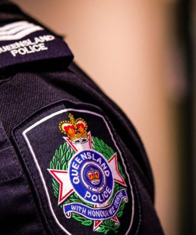
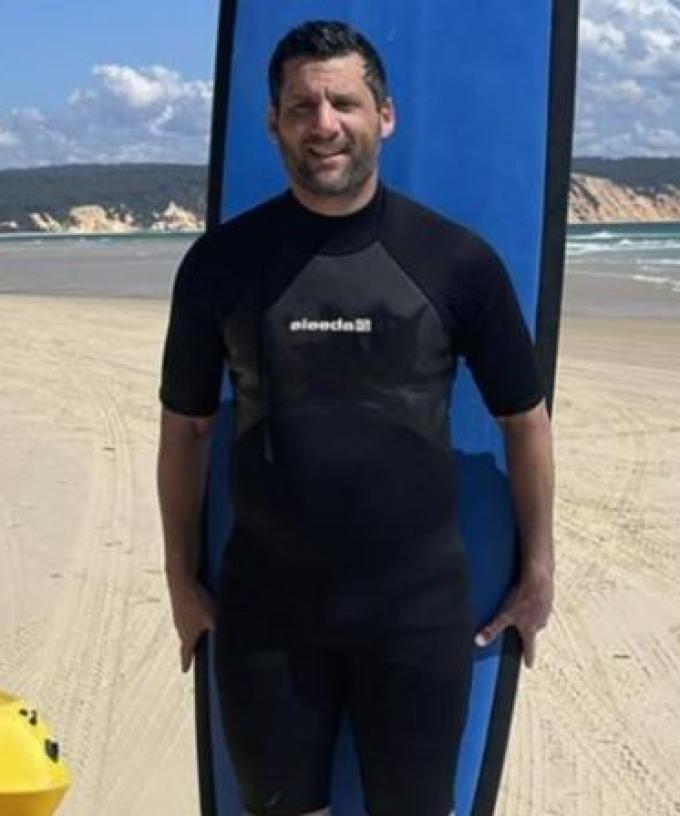
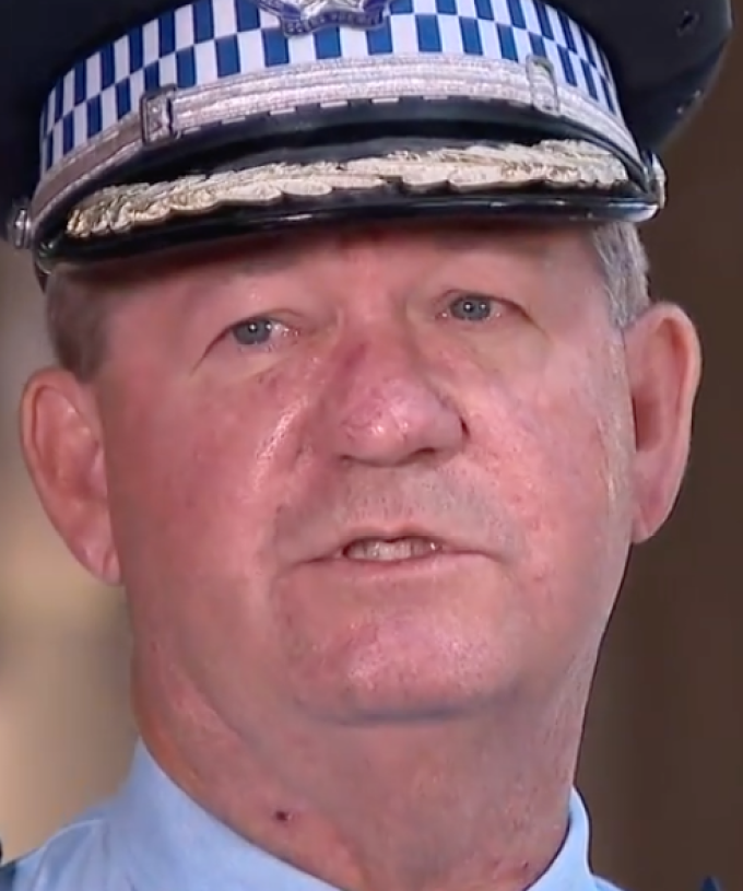
Police confirm last contact with Bondi mass murderer was on Gold Coast
Man busted drug-driving after crashing ute on M1
Driver charged over alleged hit-and-run in Southport
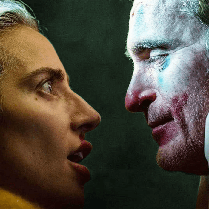
BREAKING: Bondi stabber identified as Qld man as police confirm six killed
"Brain dead" Gold Coast Subway owner slams thieves after robbery
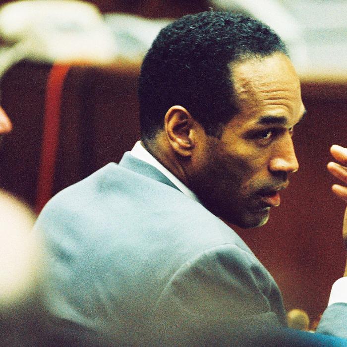
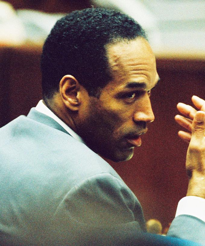
Fallen NFL, Hollywood star OJ Simpson dies aged 76
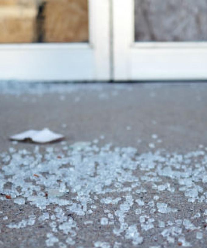
Man charged over deadly Kingscliff home invasion
Entertainment
Win tickets to UB40 with Hot Tomato Gold!
GOLD COAST COLD CASE: $500k reward offered as police launch fresh appeal
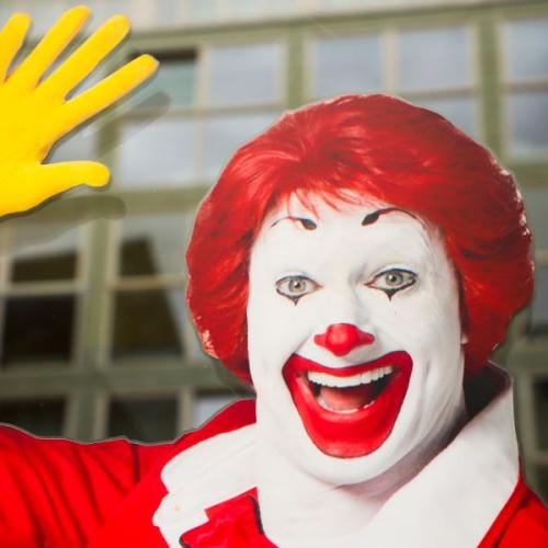
Where’s Ronald? The Mystery Behind McDonald’s Iconic Clown
Bluey’s Future Unveiled: Producer Addresses Cancellation Rumours
Conan O’Brien Gives ‘Hot Ones’ The Season Finale It Deserves
Lifestyle
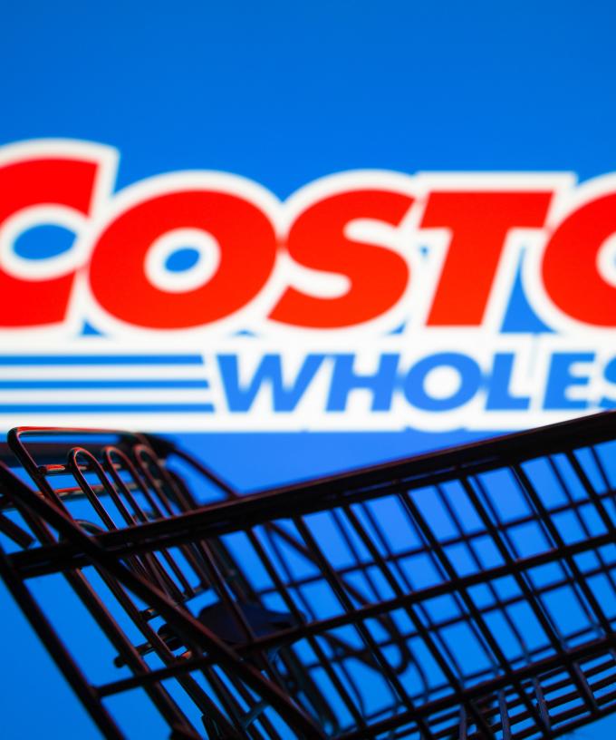
Costco Cracks Down With New Strict Rule Across Stores!
How iHeart’s Pet Radio Will Keep Your Pet Company When You’re Not Home
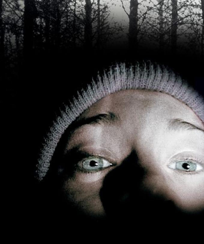
Reviving A Legend: The Blair Witch Project’s Remake in the works
Win
GALEY & EMILY JADE
Music