Connect
Gold Coast
Queensland
National
World
Sport
Health
Movies
myGC
Toddler fighting for life after stroller hit by truck in Logan
Manhunt after wannabe thieves target Upper Coomera businesses
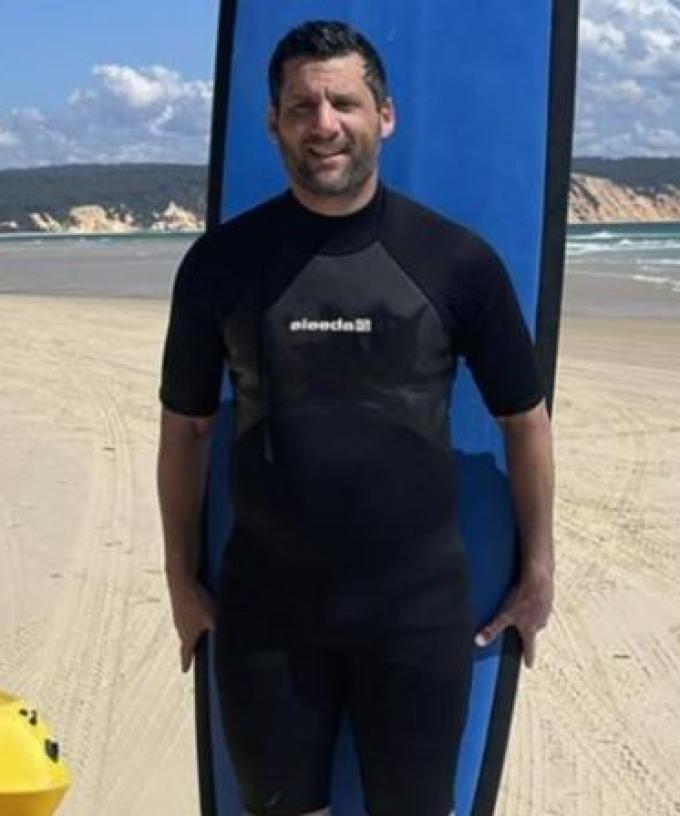
Urgent appeal to help locate man missing from Runaway Bay
Man, woman injured in nasty jetski crash on the Gold Coast
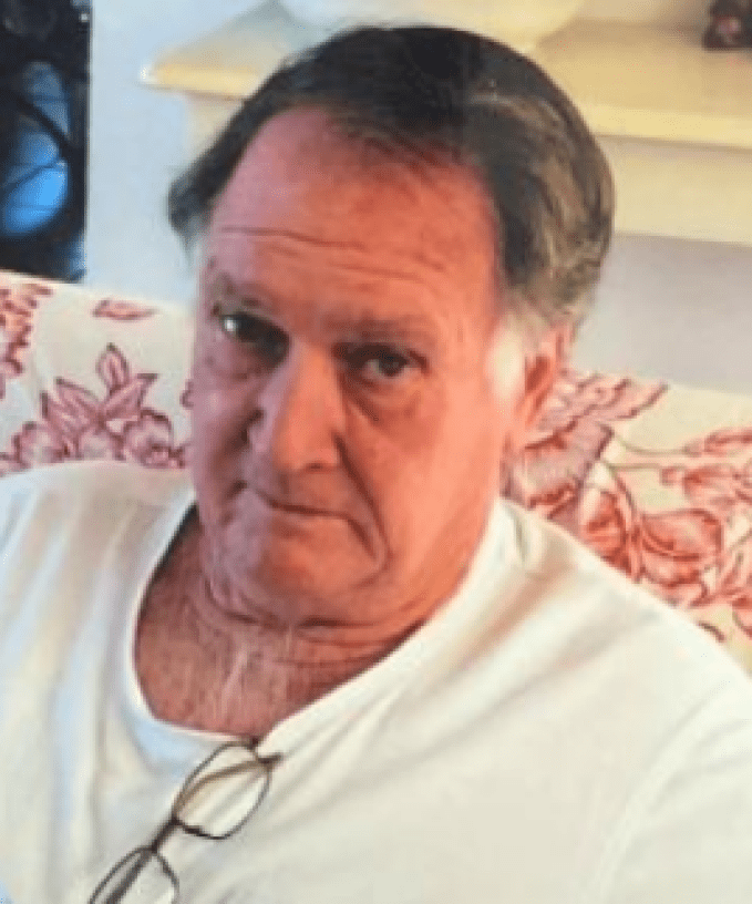
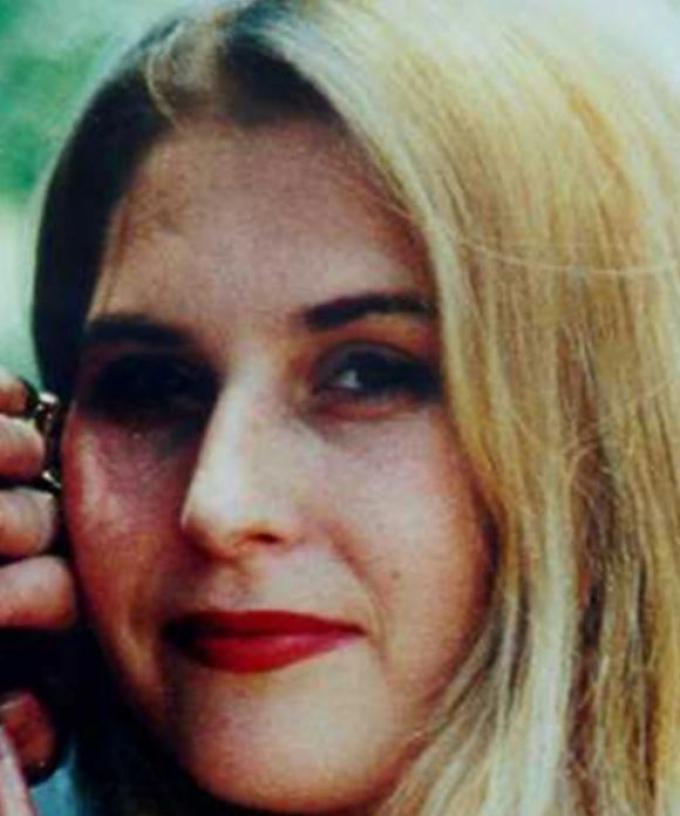
GOLD COAST COLD CASE: $500k reward offered as police launch fresh appeal
GALEY & EMILY JADE
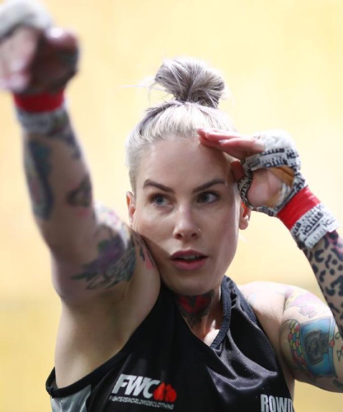
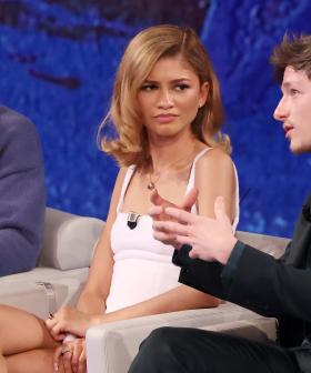
UFC Star Shares Journey from Domestic Violence Victim to Fighting Champion
New South Wales
Teen arrested after frenzied stabbing attack at Sydney church
Man in serious condition, woman injured in alleged Surfers stabbing
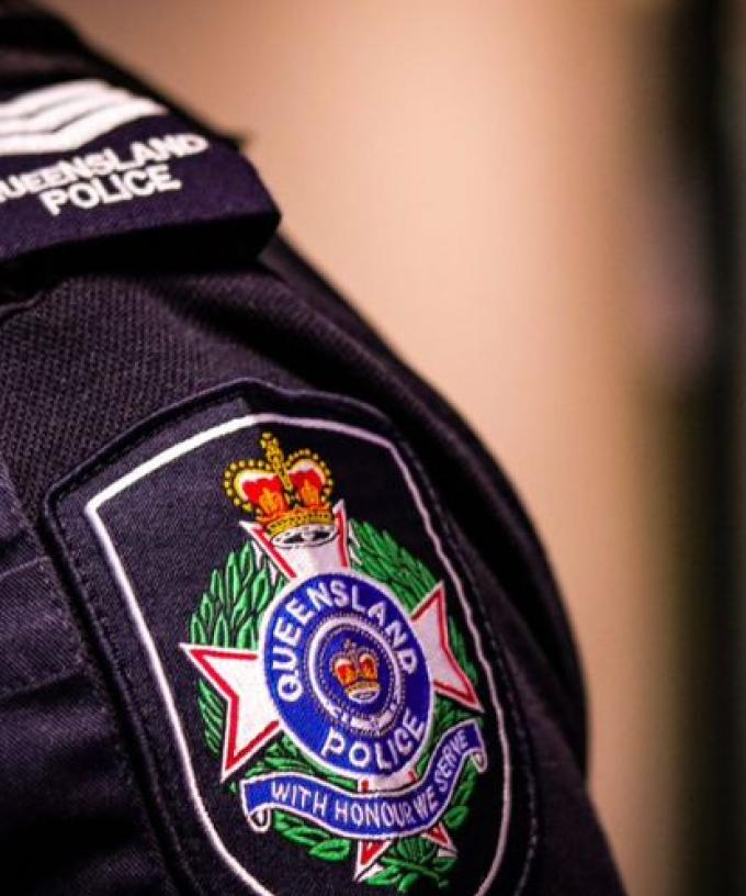
Police confirm last contact with Bondi mass murderer was on Gold Coast
Entertainment
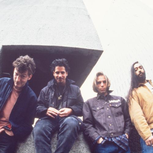
Soundgarden's Hit Unexpectedly Tops Hard Rock Charts 30 Years After Its Release
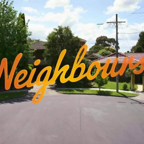
Neighbours Cracks US Market, Lands Daytime Emmy Award Nomination
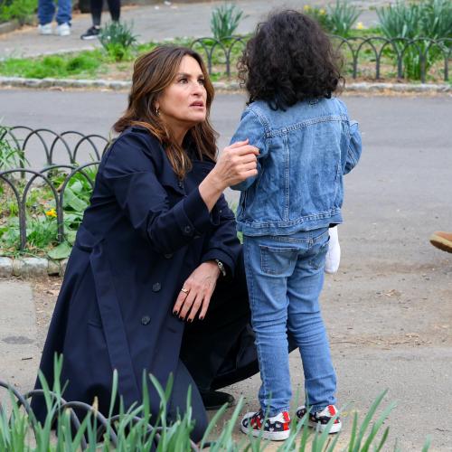
Mariska Hargitay Mistaken For Actual Cop By Lost Child During 'Law & Order' Filming
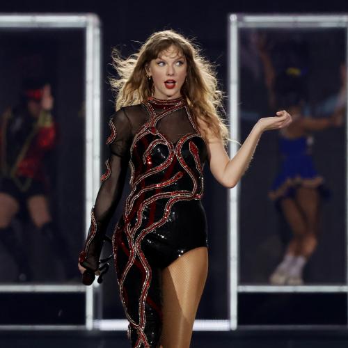
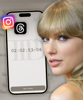
Here's A List Of Easter Eggs That Swift Has Been Dropping..
Music
Everyone Knew Josh Freese Would Be Asked To Join Foo Fighters, Except Josh Freese
Qld Government passes tough dangerous dog laws
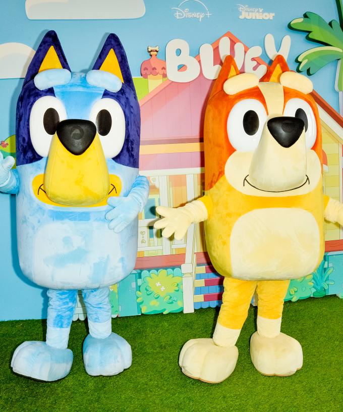
Bluey Breaks The Law
First Glimpse at Inspirational Celine Dion Documentary
Food
Win