Connect
Gold Coast
Queensland
National
World
Sport
Health
Movies
myGC
Investigations underway after Robina home goes up in flames
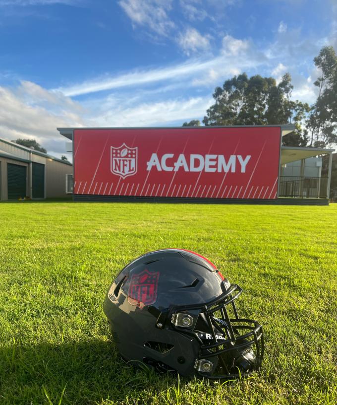
NFL to launch new Gold Coast training academy
Labor on track for major defeat in Queensland election
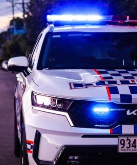
Armed man surrenders after 8-hour siege on Gold Coast
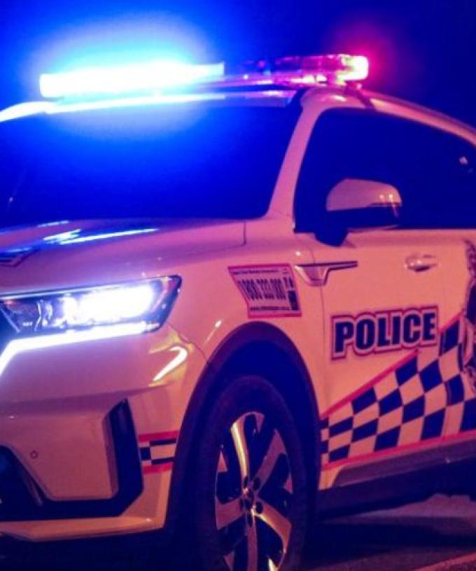
Motorcyclist killed in horror Gold Coast crash
Daredevil busted allegedly climbing up a crane in Burleigh Heads
Gold Coast now unaffordable for low income earners as rental crisis deepens
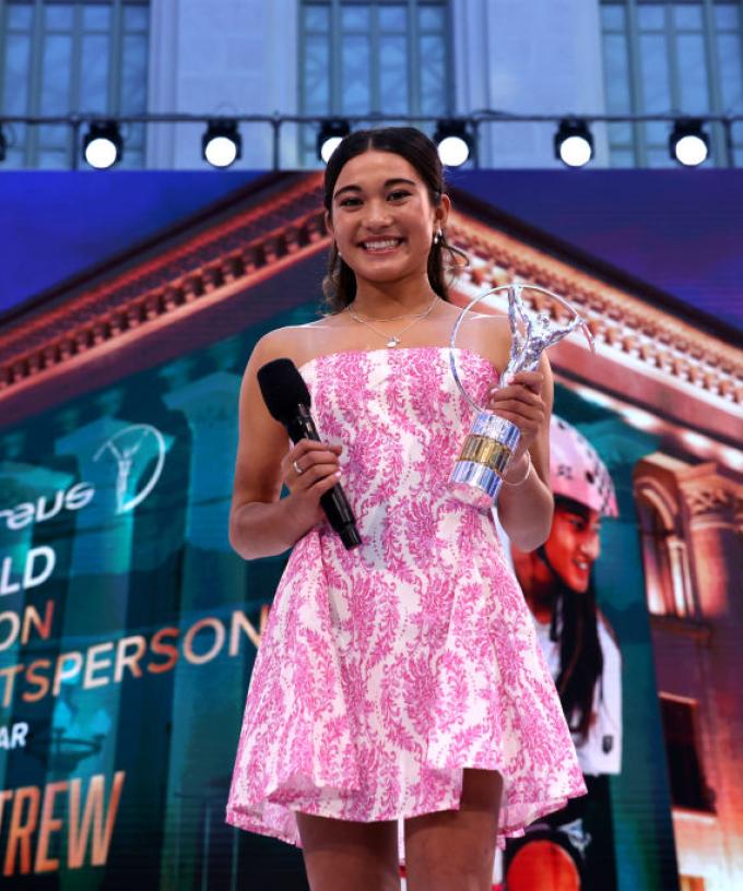
Gold Coast skateboarder Arisa Trew claims global sporting gong
Man charged after allegedly sexually assaulting paramedic on the Gold Coast
Entertainment
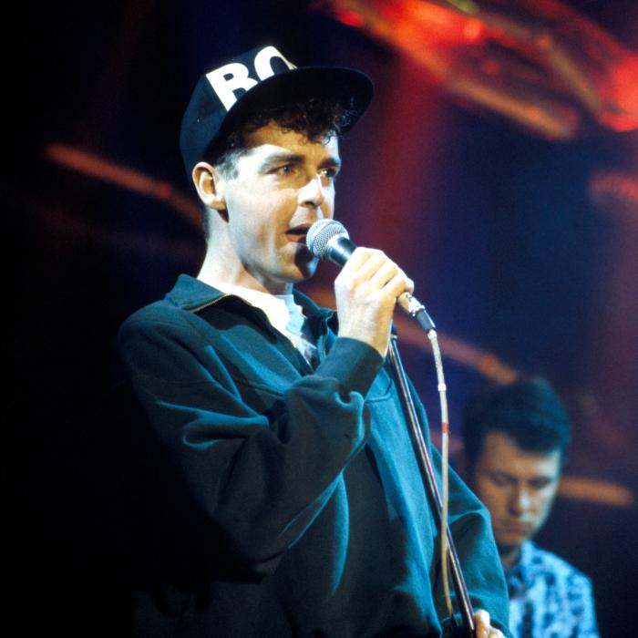
Pet Shop Boys Singer Takes Stab At Taylor Swift
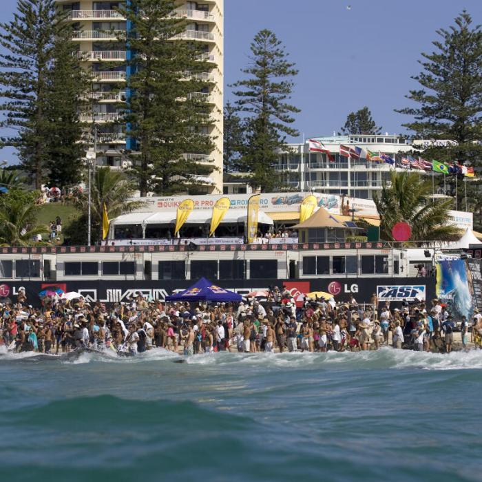
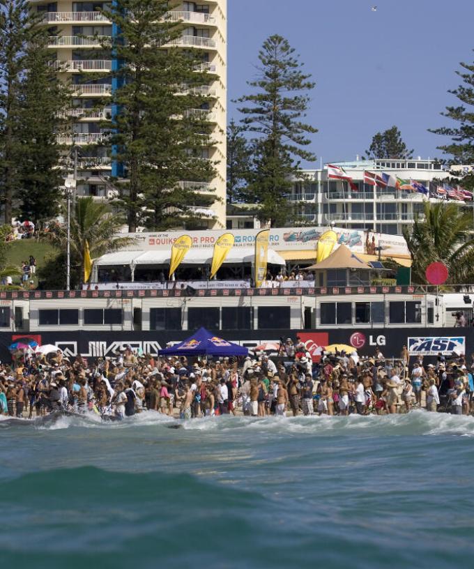
Gold Coast to return to World Surf League championship tour
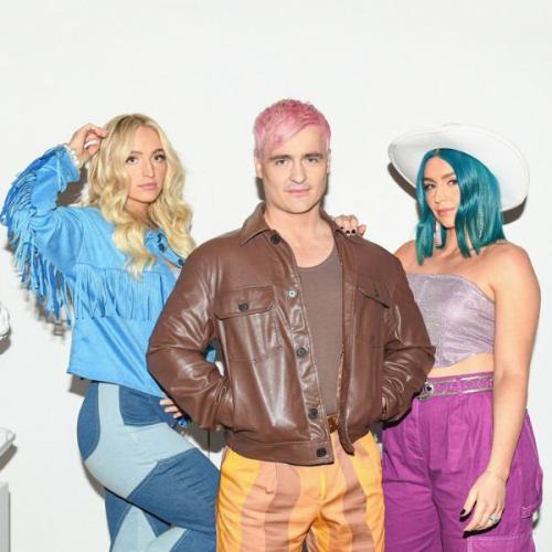
Sheppard Announce New Album “Zora” for 2024
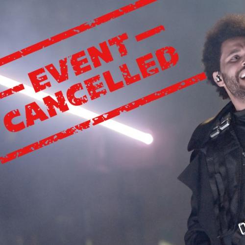
The Weeknd Cancels Australia and NZ Tour
First Trailer for Zoe Kravitz’s New Thriller “Blink Twice”
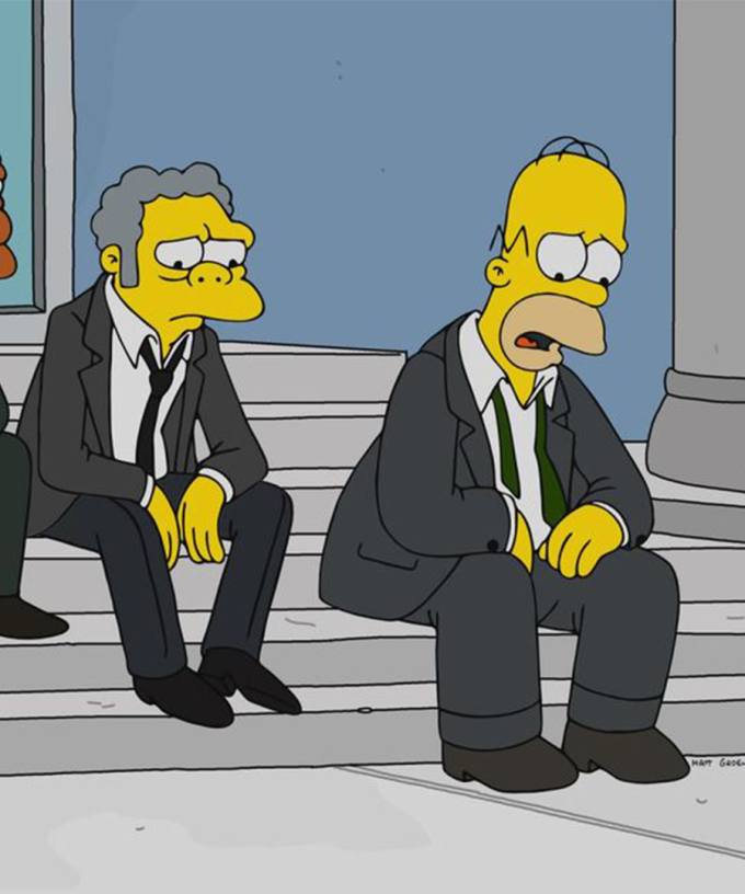
Fans Of The Simpsons Are Mourning The Death Of A Character That's Been In The Series Since Season 1
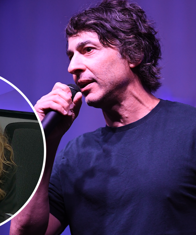
Arj Barker Defends His Decision To Evict Breastfeeding Mother From Comedy Show
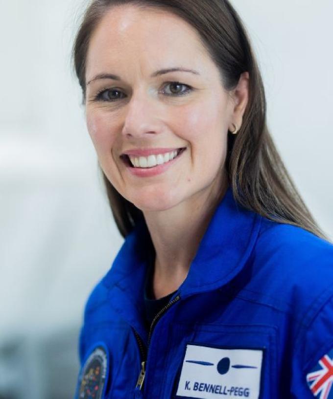
39 year old Mum of 2 Katherine Bennell-Pegg Becomes Australia’s First Astronaut
Music
TV